- September 11, 2023
- Posted by: Patrice Wishart
- Categories: disaster management, News
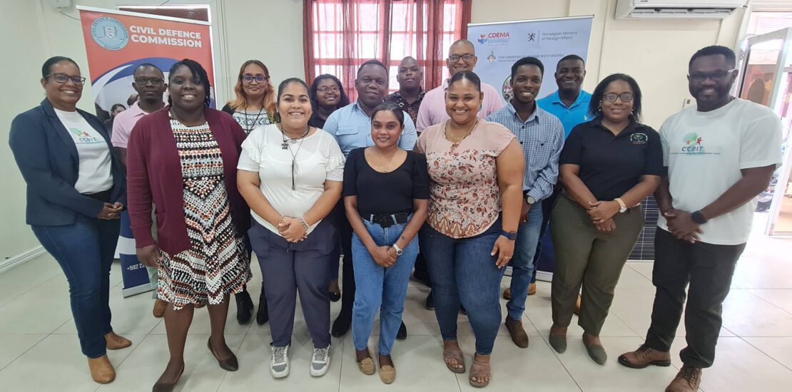
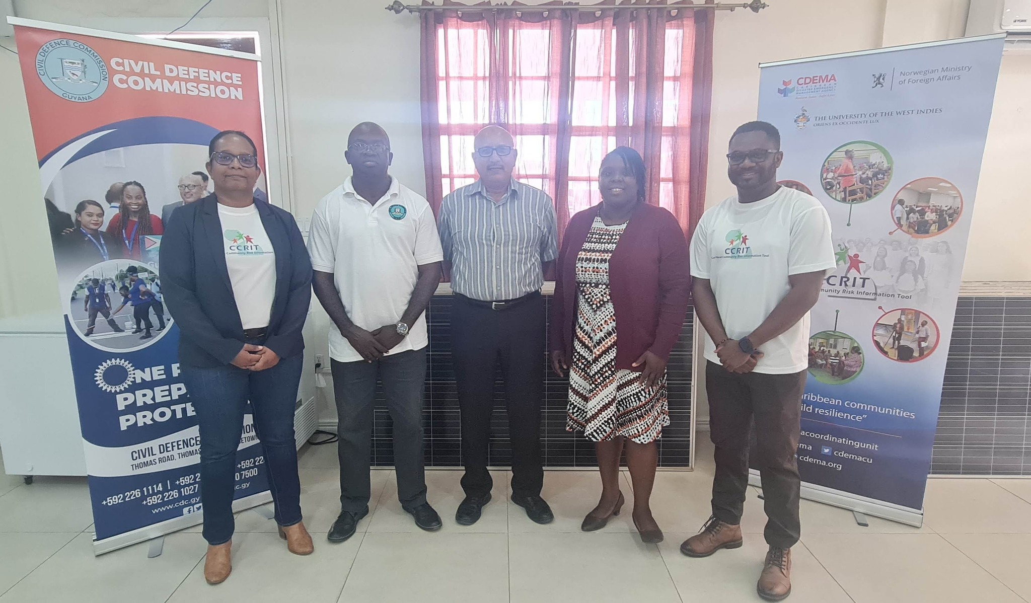
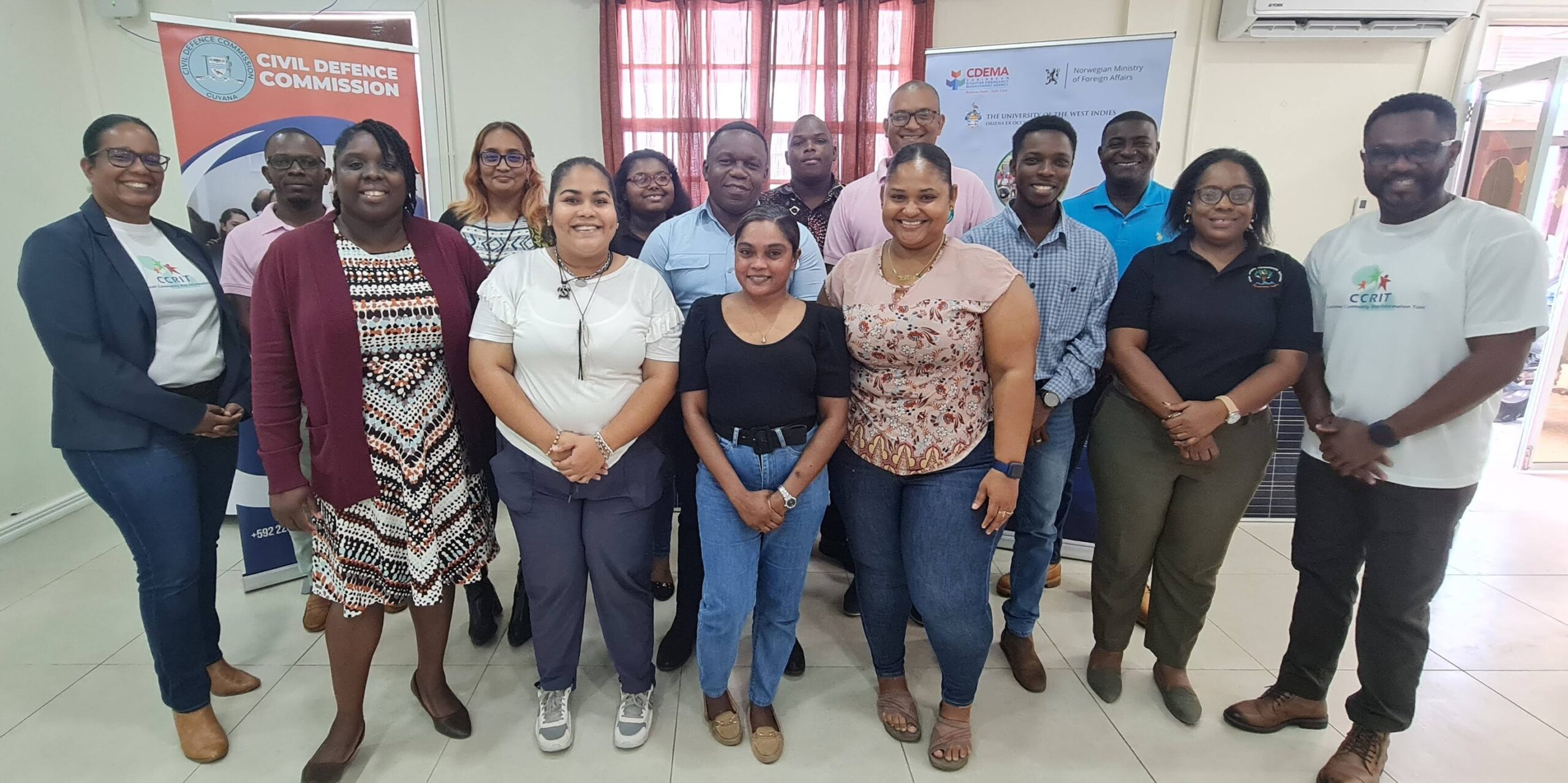
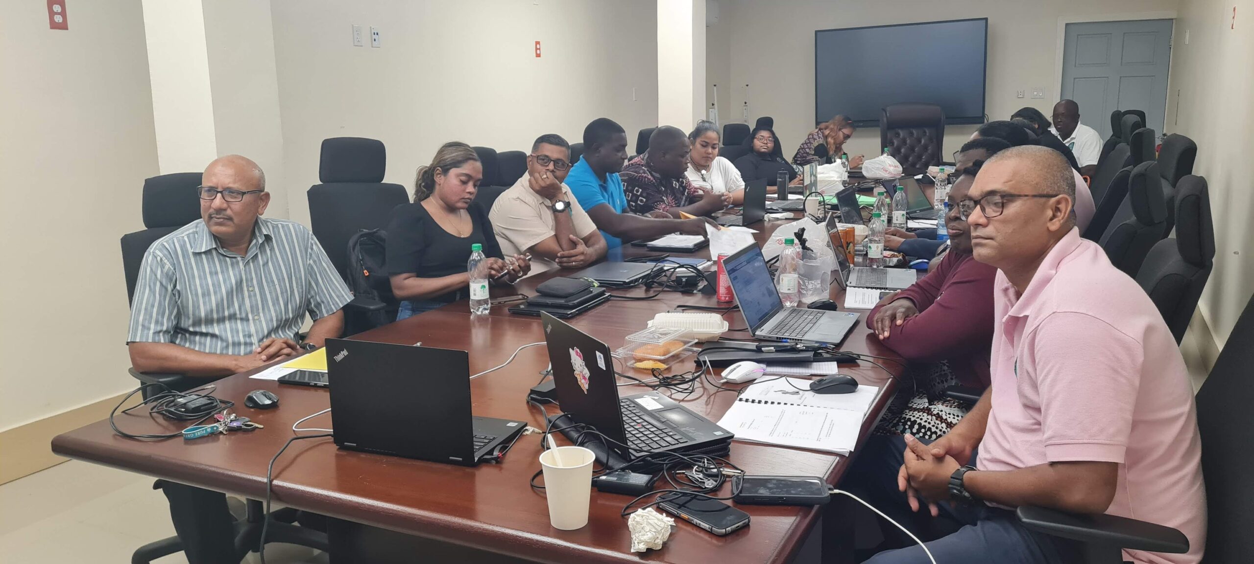
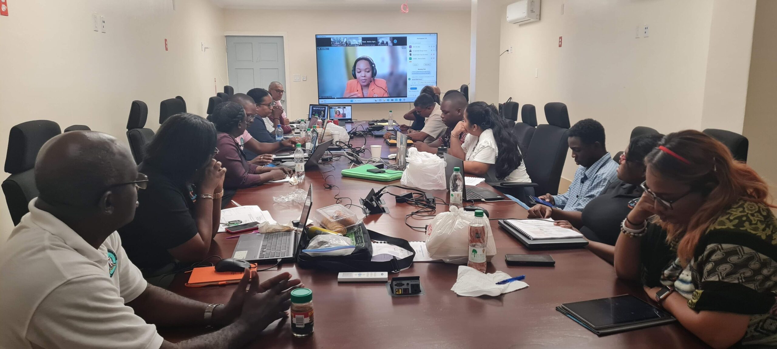
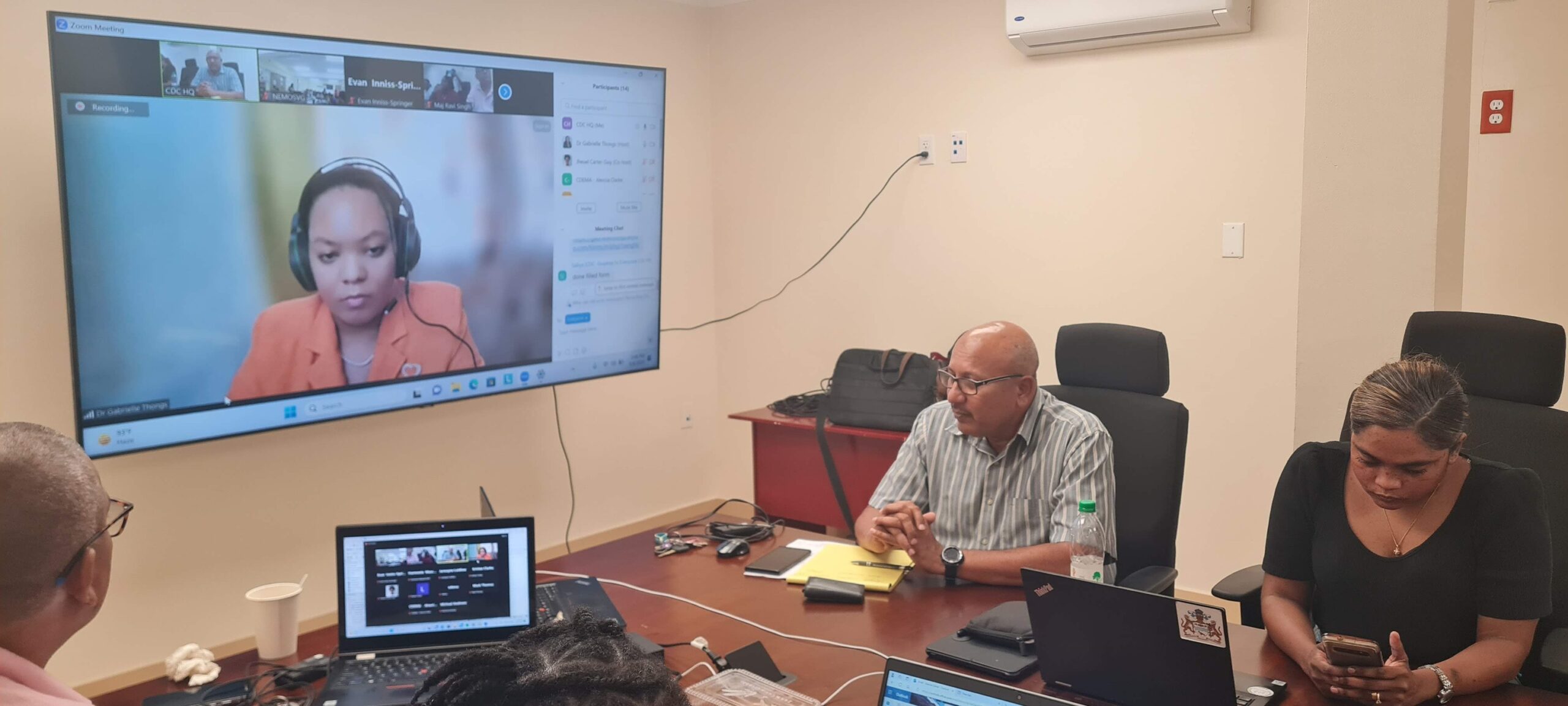
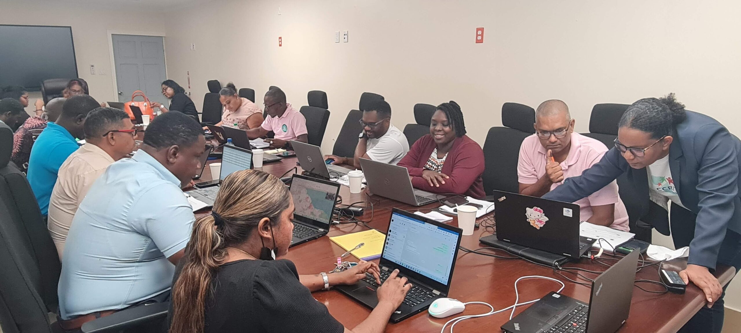
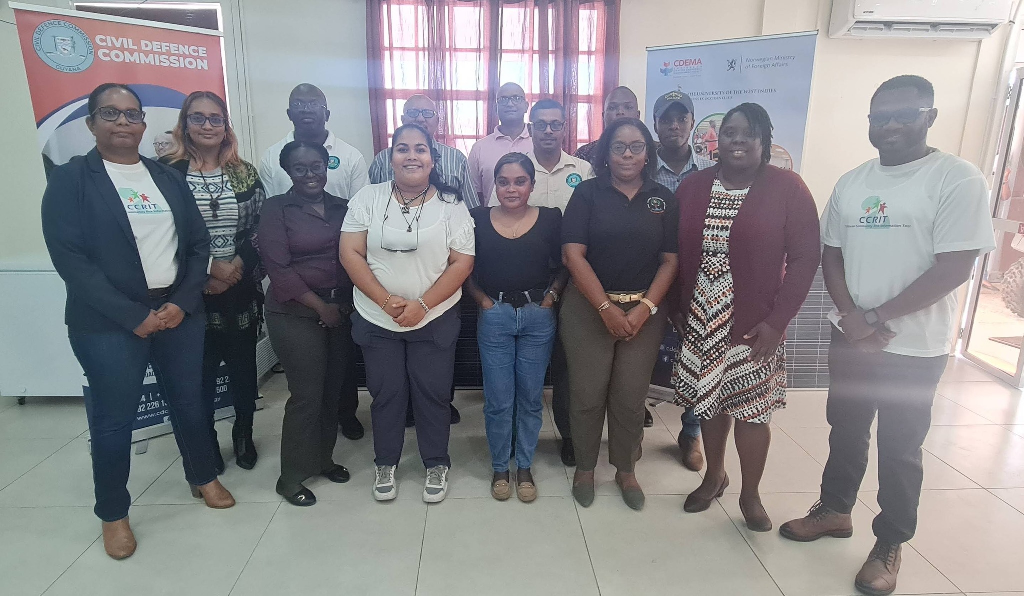
Georgetown, Guyana – The Caribbean Community Risk Information Tool (CCRIT) two-day training workshop concluded last Friday at the CDC Headquarters in Thomas Lands. Organized by CDEMA, USAID, CCRI, UWI and the Norwegian Ministry of Foreign Affairs, the activity focused on Geographic Information Systems (GIS) and Quantum Geographical Information Systems (QGIS) in the world of Risk Management.
Participants from Guyana and St. Vincent and the Grenadines (virtually) interacted with UWI Lecturer, Dr. Gabrielle Thongs, to understand the concepts and methodologies necessary for Disaster Risk Reduction and Management. Areas such as using GIS to create a Spatial Social Vulnerability and Risk Index were thoroughly examined and participants experienced realistic simulations of data input and usage.
Director General of the CDC, Col. Nazrul Hussain, highlighted the importance of the use of technology when aiming to improve resilience and minimize risk. He commended the initiative and its capacity to improve lives.